Topographical Survey
Detailed topographical surveying to understand the natural and man-made features, elevations, levels and terrain of your site for accurate planning, design and construction.
Get a Survey Quote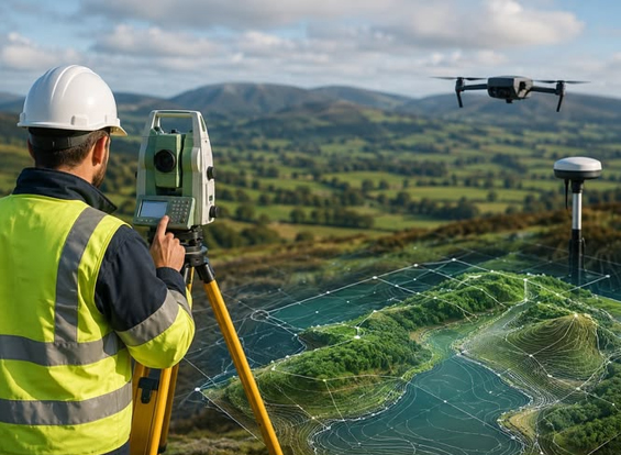
Understand Your Land.
Accurate terrain information for better planning and confident project decisions.
A Topographical Survey is carried out to identify and record the physical features and elevation characteristics of a site.
At Colorful Constructions, we collect detailed information about existing ground levels, contours, buildings, roads, boundaries, structures, drainage features and other visible site elements.
The resulting survey information provides architects, engineers, builders, developers and property owners with a reliable understanding of the existing site before design and construction begins.
What We Capture
Our topographical survey records the important physical and elevation characteristics required for site planning, engineering design and construction.
Ground Levels
Accurate spot levels and elevation points to understand the existing ground profile of the site.
Contour Information
Collection of elevation data that can be used to understand slopes, terrain variation and site contours.
Buildings & Structures
Existing buildings, walls, structures and other visible physical features can be recorded.
Roads & Access
Existing roads, pathways, access areas and related site features can be mapped accurately.
Drainage Features
Visible drainage channels, openings and other relevant site drainage features can be surveyed.
Site Boundaries
Existing boundary indicators and important reference points can be recorded as part of the site survey.
Know The Site Before You Build.
Understanding existing site conditions before starting design or construction helps professionals make better decisions. Topographical survey data provides a clear picture of terrain, levels and physical features that may influence the project.
Better Site Planning
Understand the existing terrain and physical conditions before preparing project plans.
Accurate Design
Provide reliable site information to architects and engineers for design development.
Terrain Understanding
Identify slopes, elevation differences and changes across the project site.
Reduced Site Errors
Reliable existing-condition information can help reduce avoidable planning and execution issues.
Need a Topographical Survey?
Get accurate information about your site's terrain, elevations, contours and existing physical features. Colorful Constructions provides professional topographical surveying support for construction, land development, engineering and planning projects.
Contact Us Today